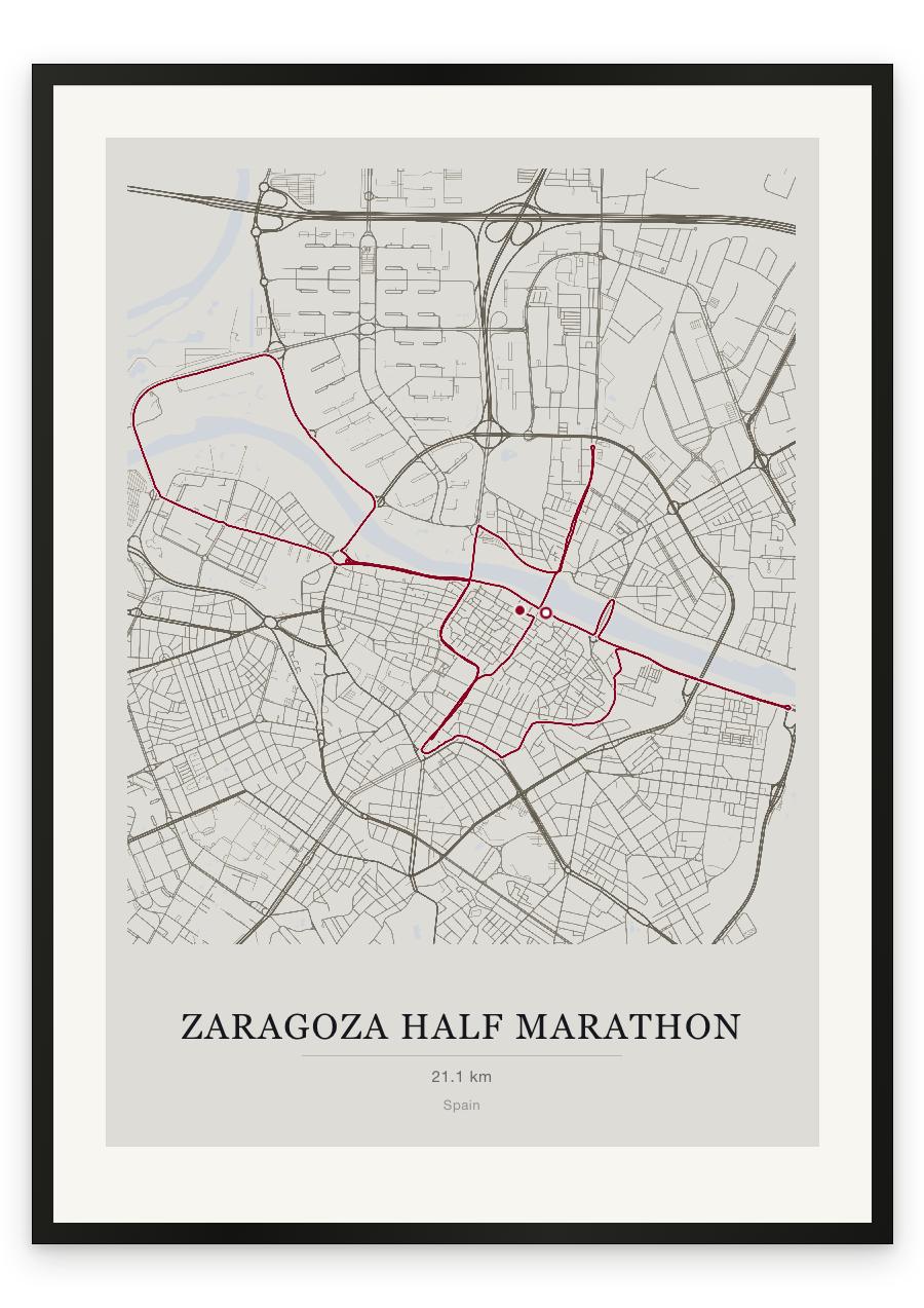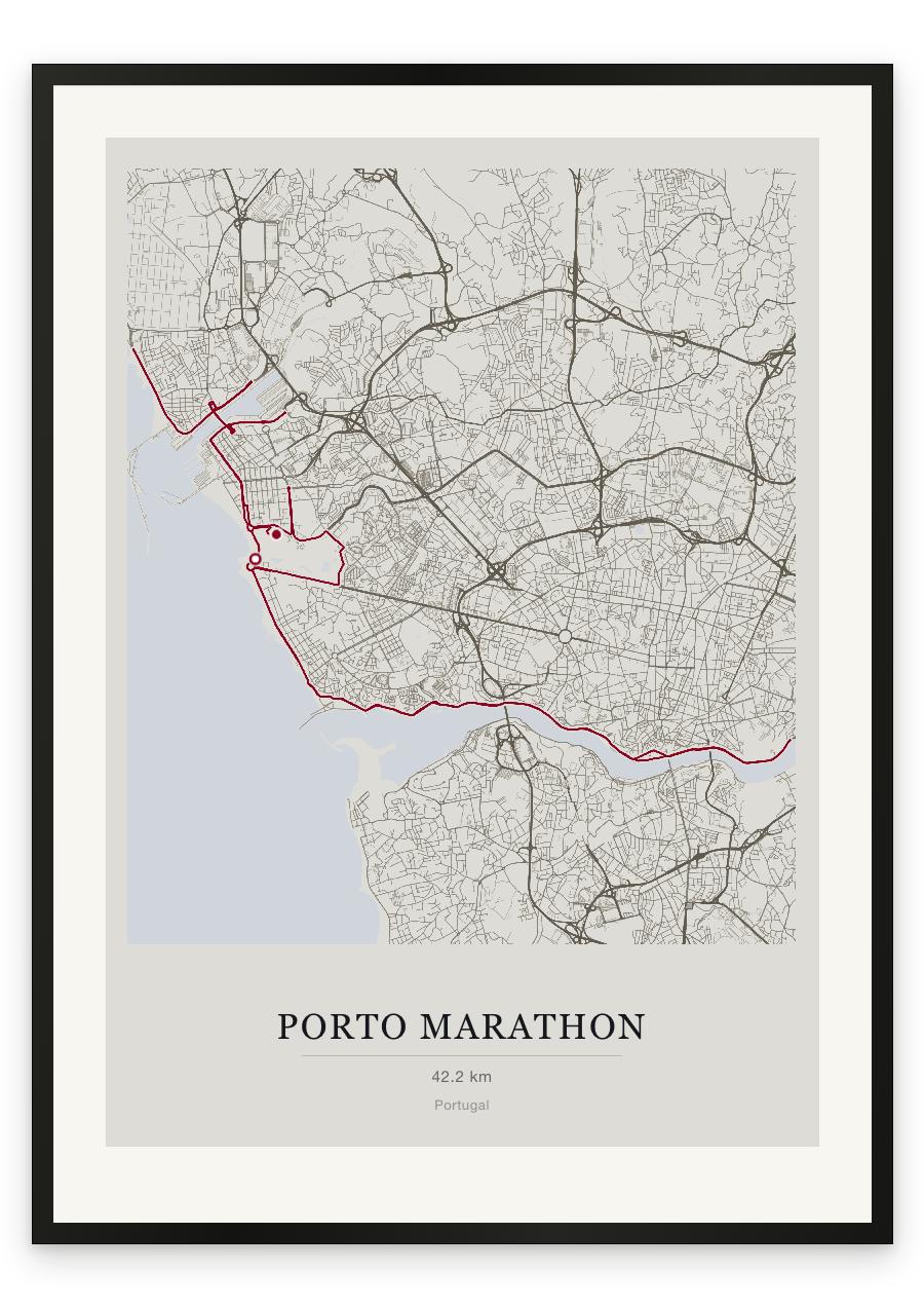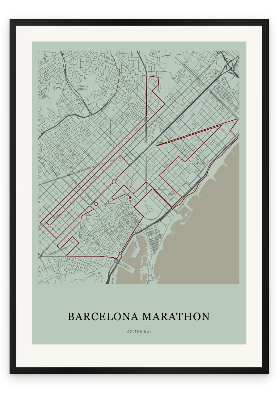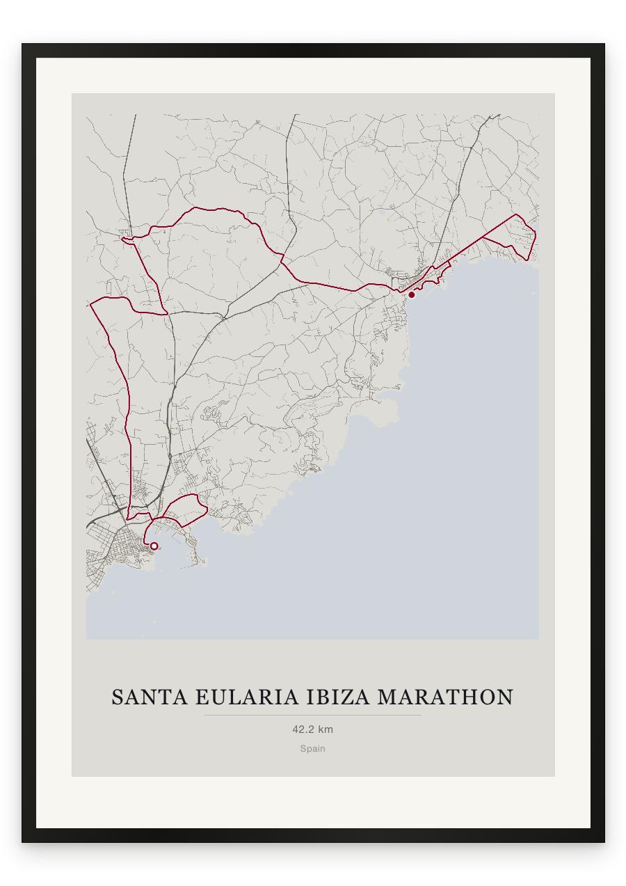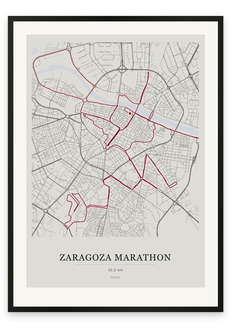
Style Classic map
Course facts
- Distance as drawn
- 42.8 km (26.6 miles)
- Route
- Starts and finishes in the same place, and 23.8 km of the 42.8 km is on roads the course uses twice.
- Start and finish
- Near Casco Antiguo
- Climb
- About 170 m up and 165 m down
- Highest point
- About 245 m above sea level, at 21.7 km
- Lowest point
- About 185 m above sea level
- Biggest climb
- About 35 m, from 38.5 km to 41.7 km
- Biggest descent
- About 30 m, from 22.6 km to 25.7 km
- Passes near
- La Almozara (11.5 km), San José (15.6 km), Romareda (20.0 km), Torrero (22.6 km), Las Fuentes (27.0 km), La Magdalena (31.8 km), Vadorrey (32.8 km), Jesús (34.9 km), La Azucarera (36.5 km), Arrabal (38.0 km)
- Heights along the course
- Start 215 m, 5 km 225 m, 10 km 195 m, 15 km 215 m, 20 km 225 m, 25 km 210 m, 30 km 215 m, 35 km 190 m, 40 km 215 m, finish 215 m
- Race day
- Sunday 12 April 2026
We measured these from the route drawn on the print. How we measure