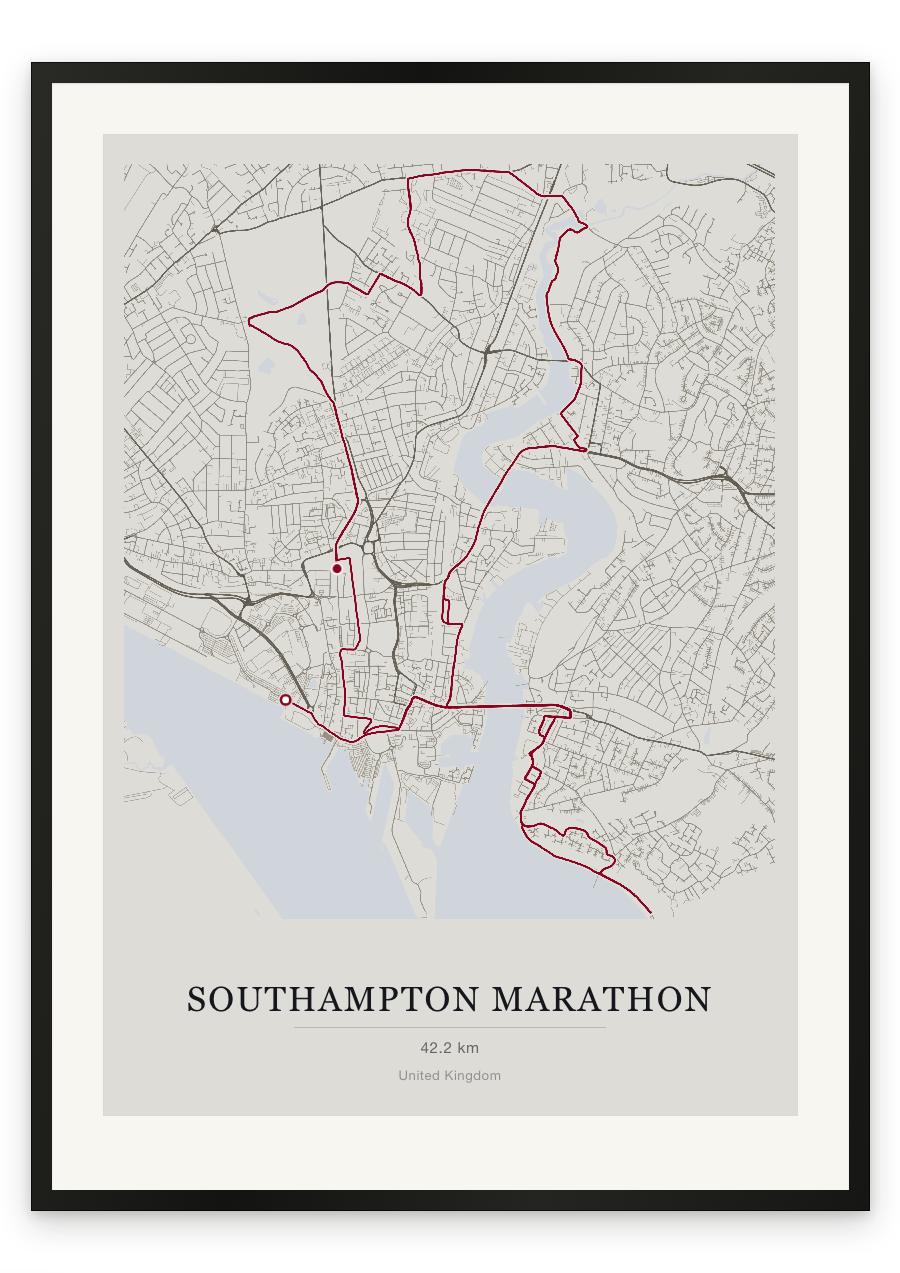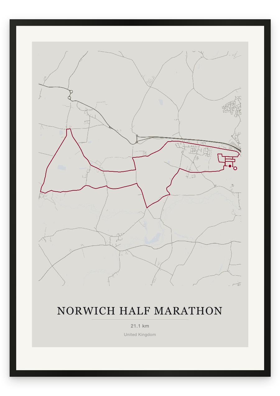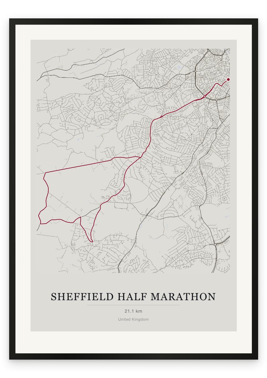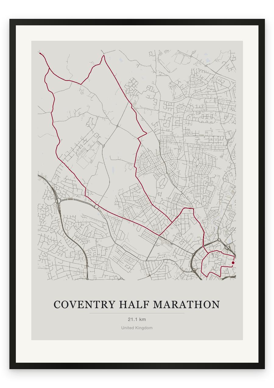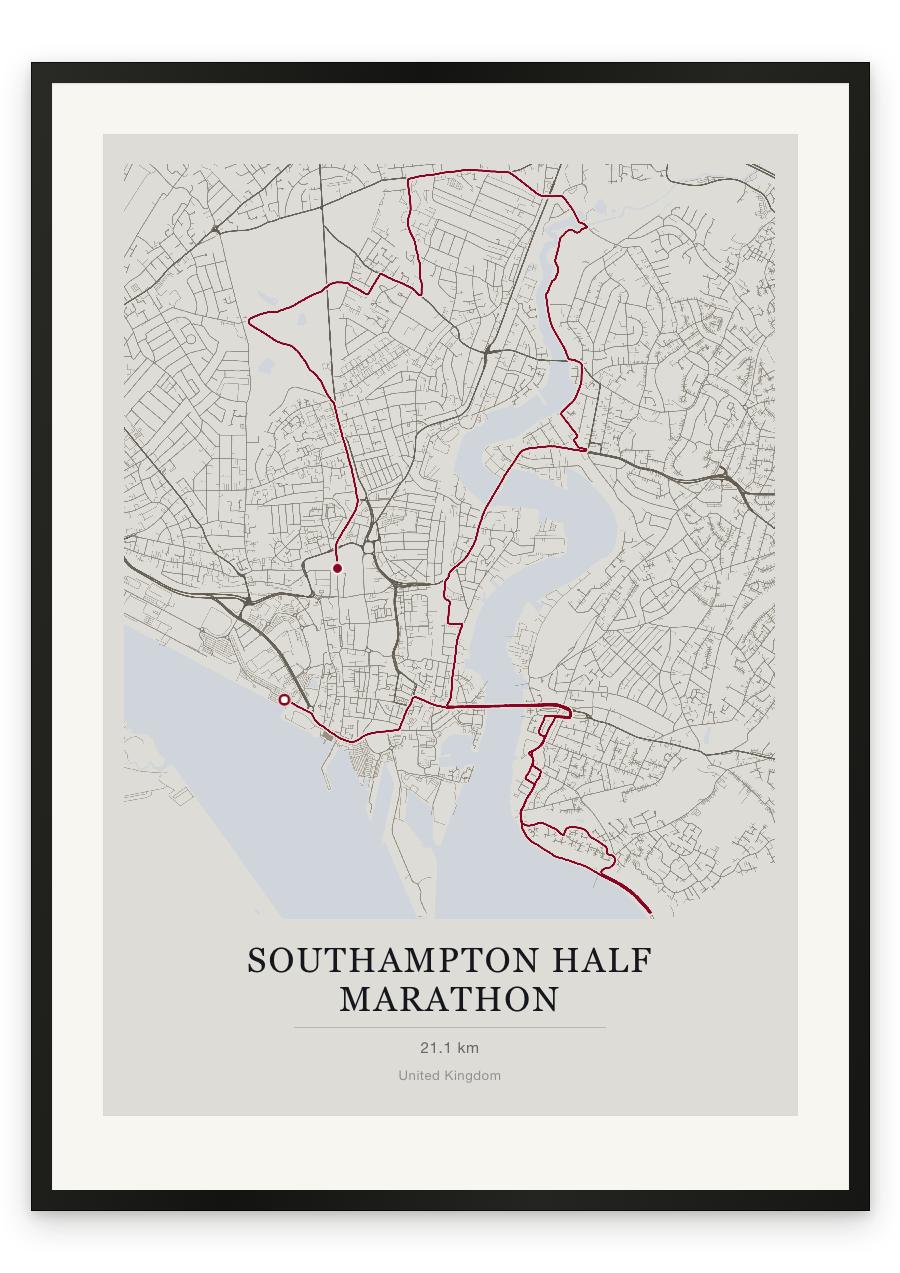
Style Classic map
Course facts
- Distance as drawn
- 21.4 km (13.3 miles)
- Route
- The finish is 1.2 km from the start.
- Start
- Near Southampton
- Finish
- Near The Polygon
- Climb
- About 75 m up and 55 m down
- Highest point
- About 45 m above sea level, at 16.3 km
- Lowest point
- Close to sea level
- Biggest climb
- About 40 m, from 14.8 km to 16.4 km
- Biggest descent
- About 25 m, from 18.2 km to the finish
- Passes near
- Weston (5.5 km), Woolston (8.2 km), St Mary's (10.1 km), Nichols Town (10.5 km), Northam (10.9 km), Newtown (11.0 km), Bitterne Manor (11.7 km), Bitterne Park (13.4 km), St Denys (13.4 km), Hampton Park (15.2 km), Swaythling (15.5 km), Portswood (17.3 km), Highfield (17.5 km), Upper Shirley (19.0 km), Westwood Park (19.9 km), Banister's Park (20.2 km), Bevois Town (20.6 km)
- Heights along the course
- Start 5 m, 3 km 10 m, 6 km 5 m, 9 km 5 m, 12 km 5 m, 15 km 10 m, 18 km 40 m, 21 km 20 m, finish 15 m
- Race day
- Sunday 11 April 2027
We measured these from the route drawn on the print. How we measure