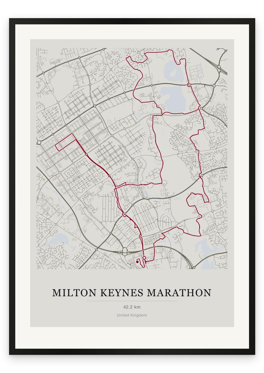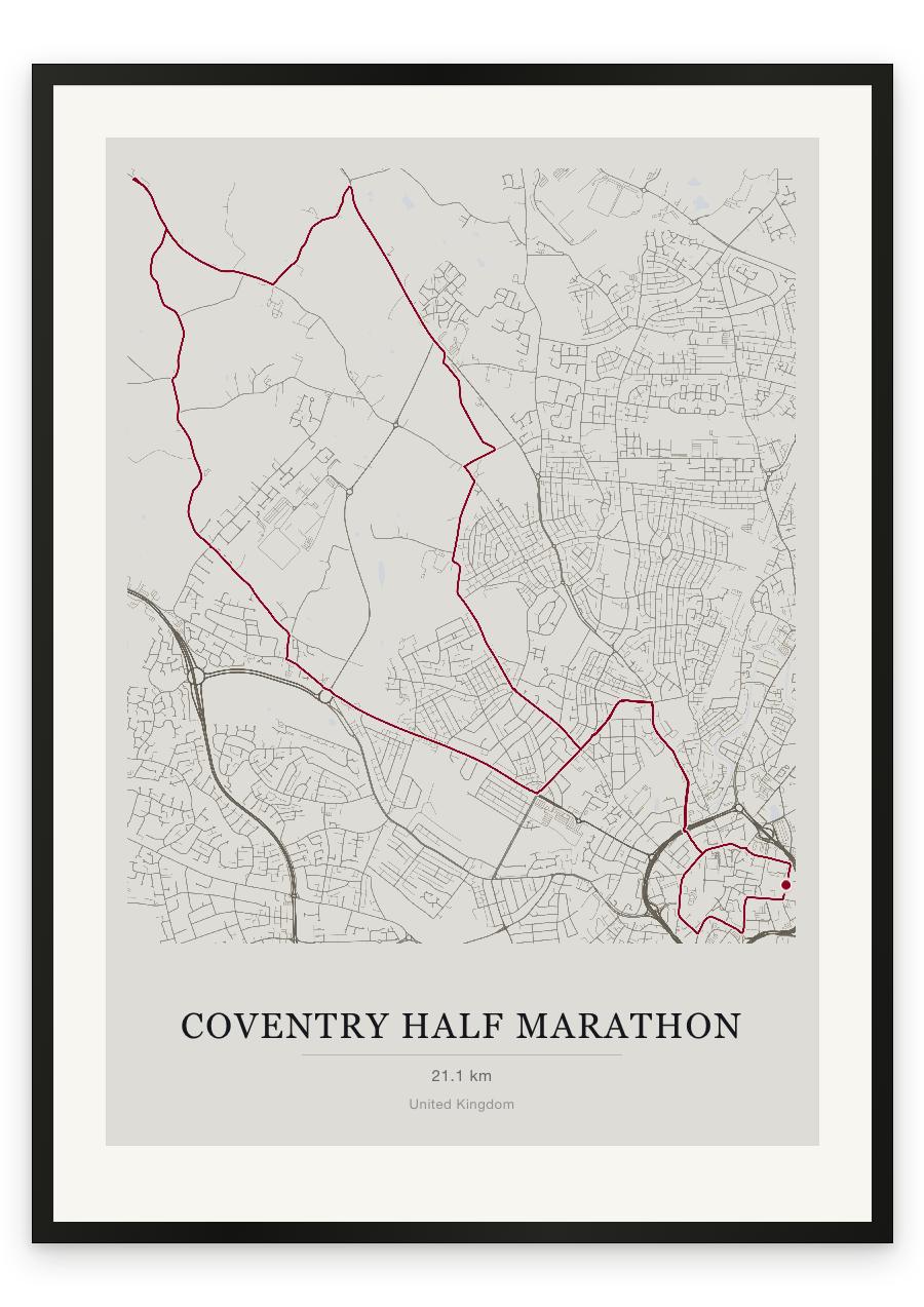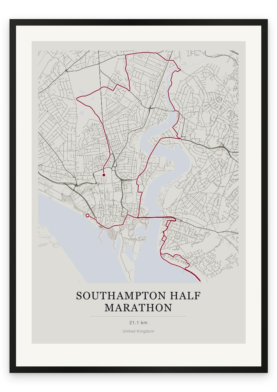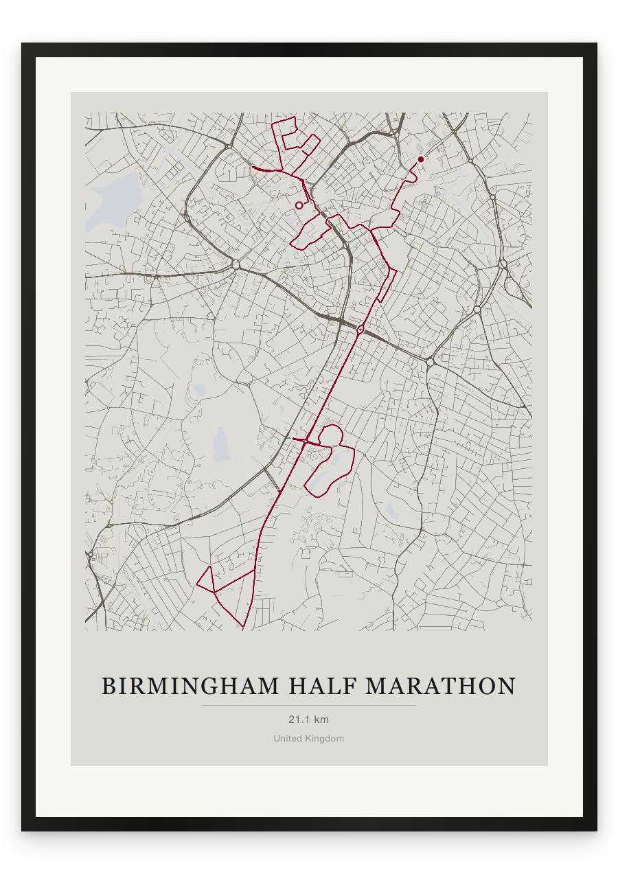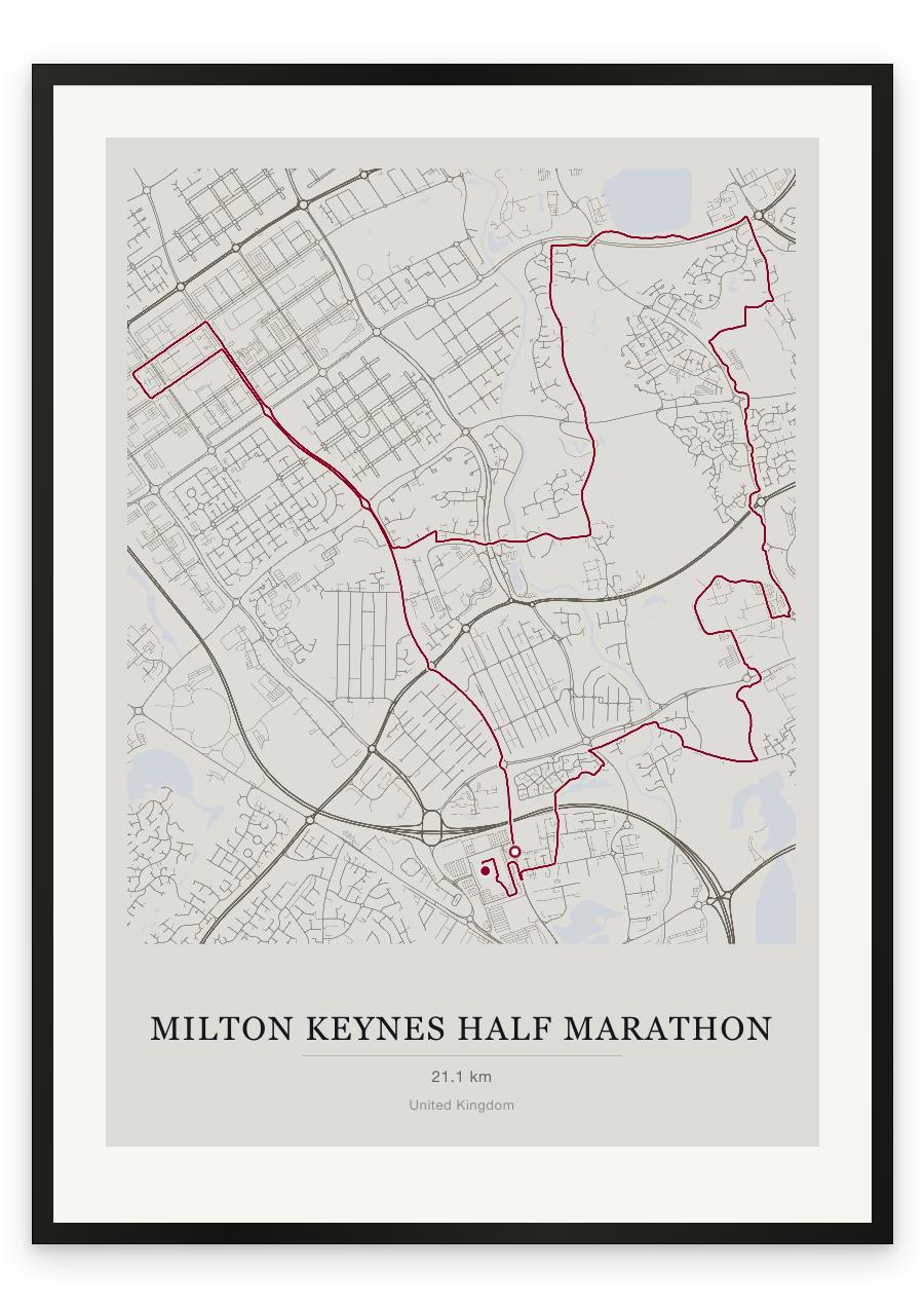
Style Classic map
Course facts
- Distance as drawn
- 21.4 km (13.3 miles)
- Route
- A loop, starting and finishing in the same place.
- Start and finish
- Near Denbigh North
- Climb
- About 60 m up and 60 m down
- Highest point
- About 110 m above sea level, at 5.5 km
- Lowest point
- About 60 m above sea level
- Biggest climb
- About 20 m, from the start to 2.7 km
- Biggest descent
- About 40 m, from 7.0 km to 11.5 km
- Passes near
- Netherfield (1.1 km), Beanhill (1.1 km), Coffee Hall (1.8 km), Eaglestone West (1.9 km), Oldbrook (3.2 km), Central Milton Keynes (5.6 km), Fishermead (6.7 km), Eaglestone (7.8 km), Passmore (8.7 km), Woughton on the Green (8.9 km), Peartree Bridge (9.2 km), Woolstone (10.4 km), Newlands (10.9 km), Fox Milne (12.0 km), Northfield (12.2 km), Atterbury (12.2 km), Milton Keynes Village (12.8 km), Oakgrove (13.4 km), Monkston (14.3 km), Monkston Park (14.3 km)
- Heights along the course
- Start 80 m, 3 km 100 m, 6 km 100 m, 9 km 70 m, 12 km 65 m, 15 km 70 m, 18 km 65 m, 21 km 75 m, finish 70 m
- Race day
- Monday 3 May 2027
We measured these from the route drawn on the print. How we measure