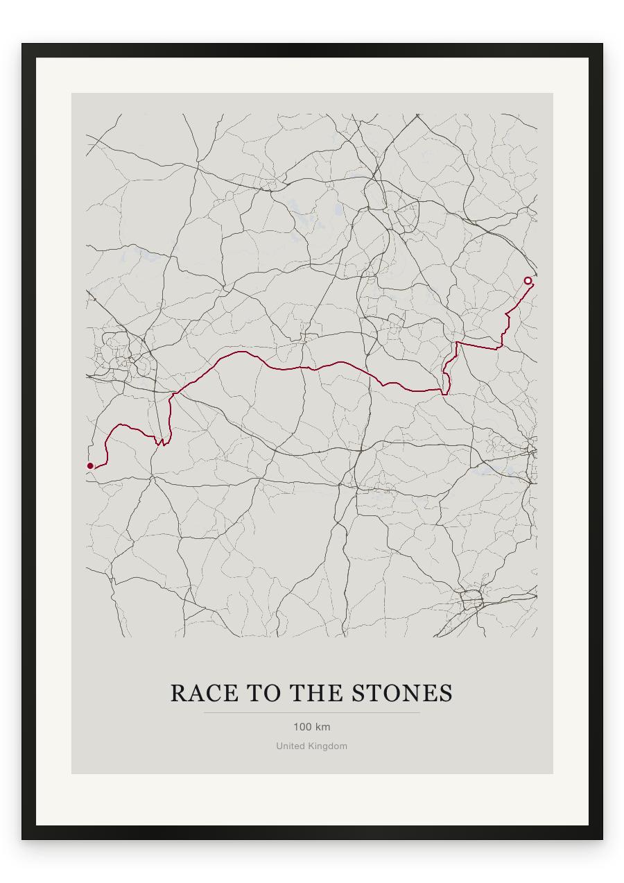
Style Classic map
Course facts
- Distance as drawn
- 99.8 km (62.0 miles)
- Route
- Point to point. The finish is 65.7 km from the start.
- Start
- Near Lewknor
- Finish
- Near Avebury
- Climb
- About 905 m up and 870 m down
- Highest point
- About 275 m above sea level, at 73.8 km
- Lowest point
- About 40 m above sea level
- Biggest climb
- About 115 m, from 30.9 km to 34.3 km
- Biggest descent
- About 125 m, from 12.8 km to 16.4 km
- Passes near
- Watlington (3.8 km), Swyncombe (8.9 km), Nuffield (12.8 km), Mongewell (19.3 km), North Stoke (21.0 km), Littlestoke (23.0 km), Moulsford (24.7 km), South Stoke (25.7 km), Goring-on-Thames (28.5 km), Streatley (29.2 km), Foxhill (70.5 km), Ogbourne St George (81.2 km), Southend (82.2 km)
- Heights along the course
- Start 125 m, 5 km 130 m, 10 km 215 m, 15 km 125 m, 20 km 45 m, 25 km 45 m, 30 km 75 m, 35 km 155 m, 40 km 165 m, 45 km 200 m, 50 km 215 m, 55 km 210 m, 60 km 210 m, 65 km 200 m, 70 km 220 m, 75 km 250 m, 80 km 200 m, 85 km 205 m, 90 km 265 m, 95 km 245 m, finish 155 m
- Race day
- Saturday 10 July 2027
We measured these from the route drawn on the print. How we measure