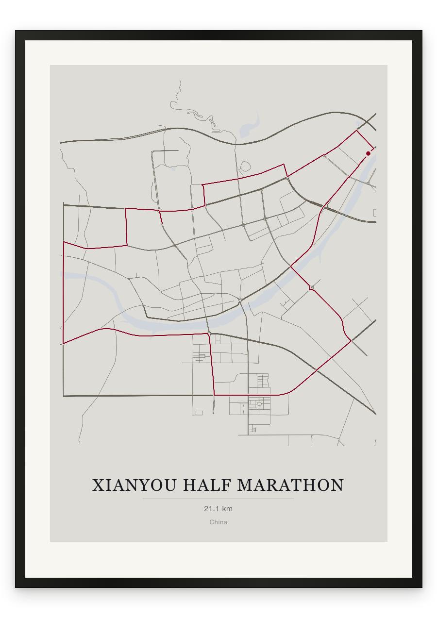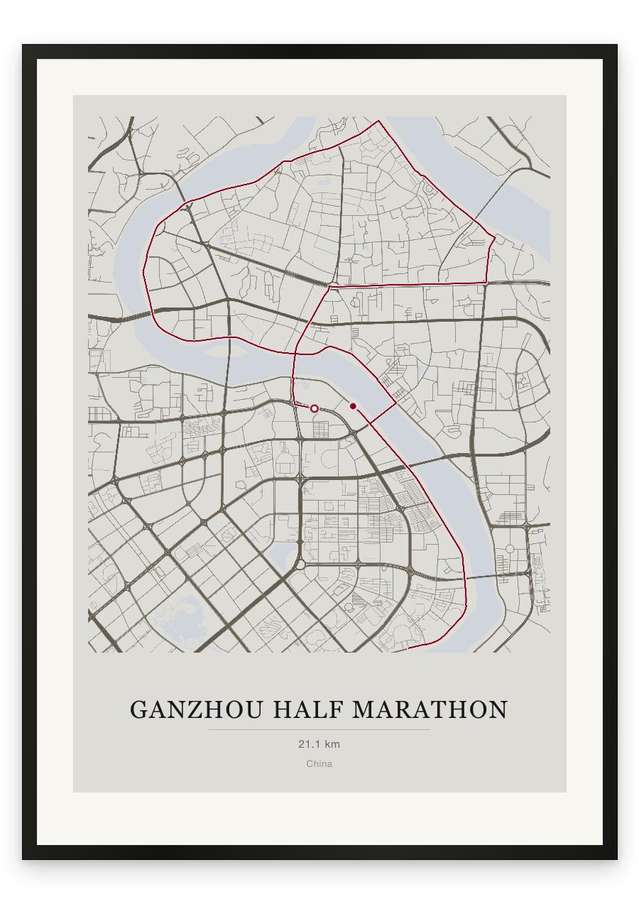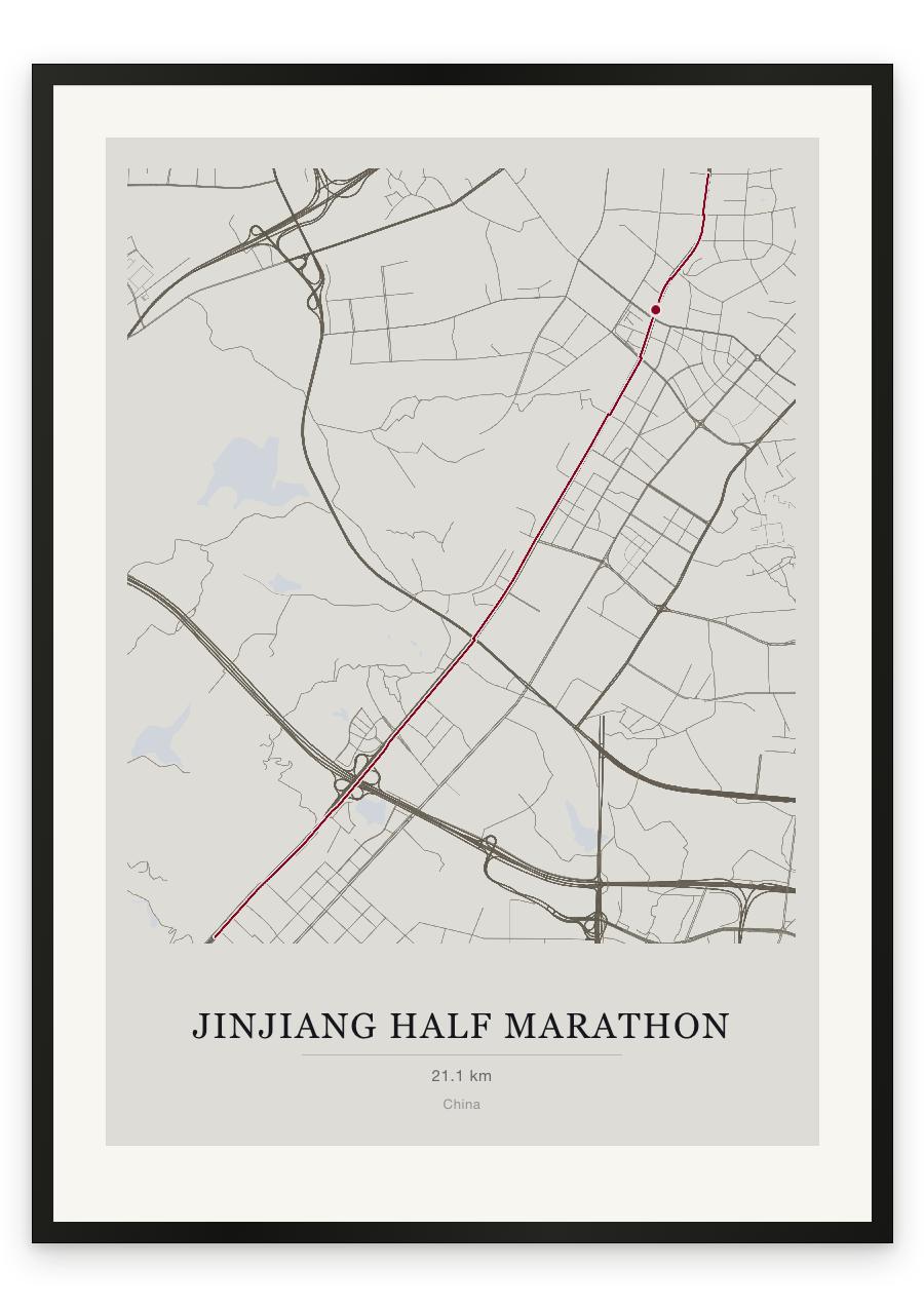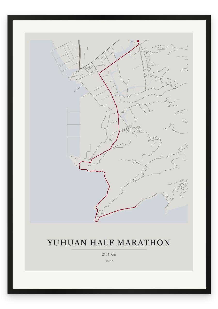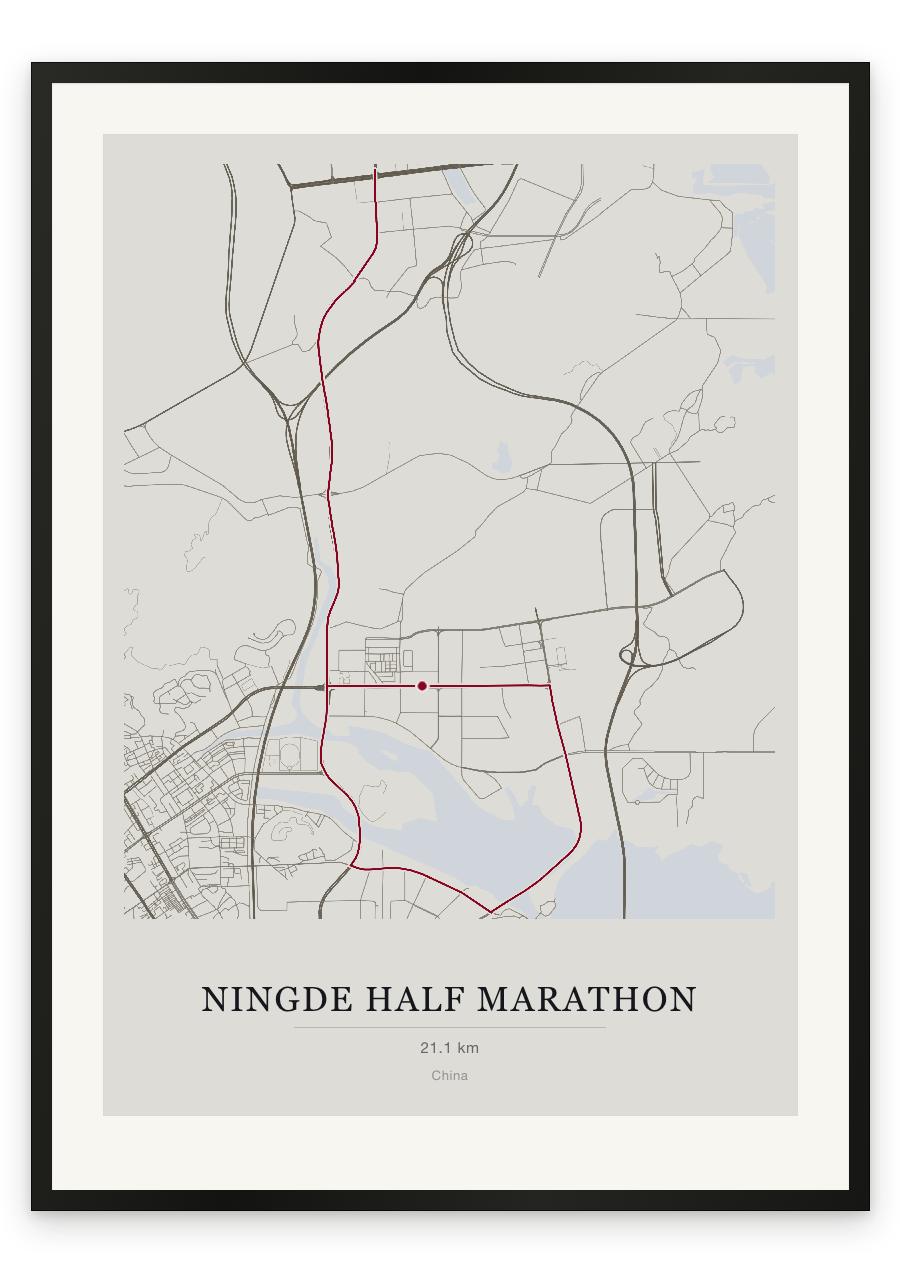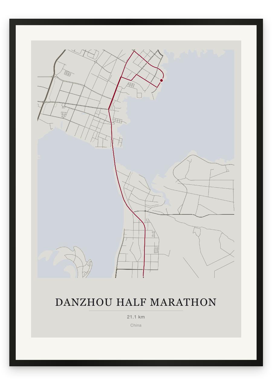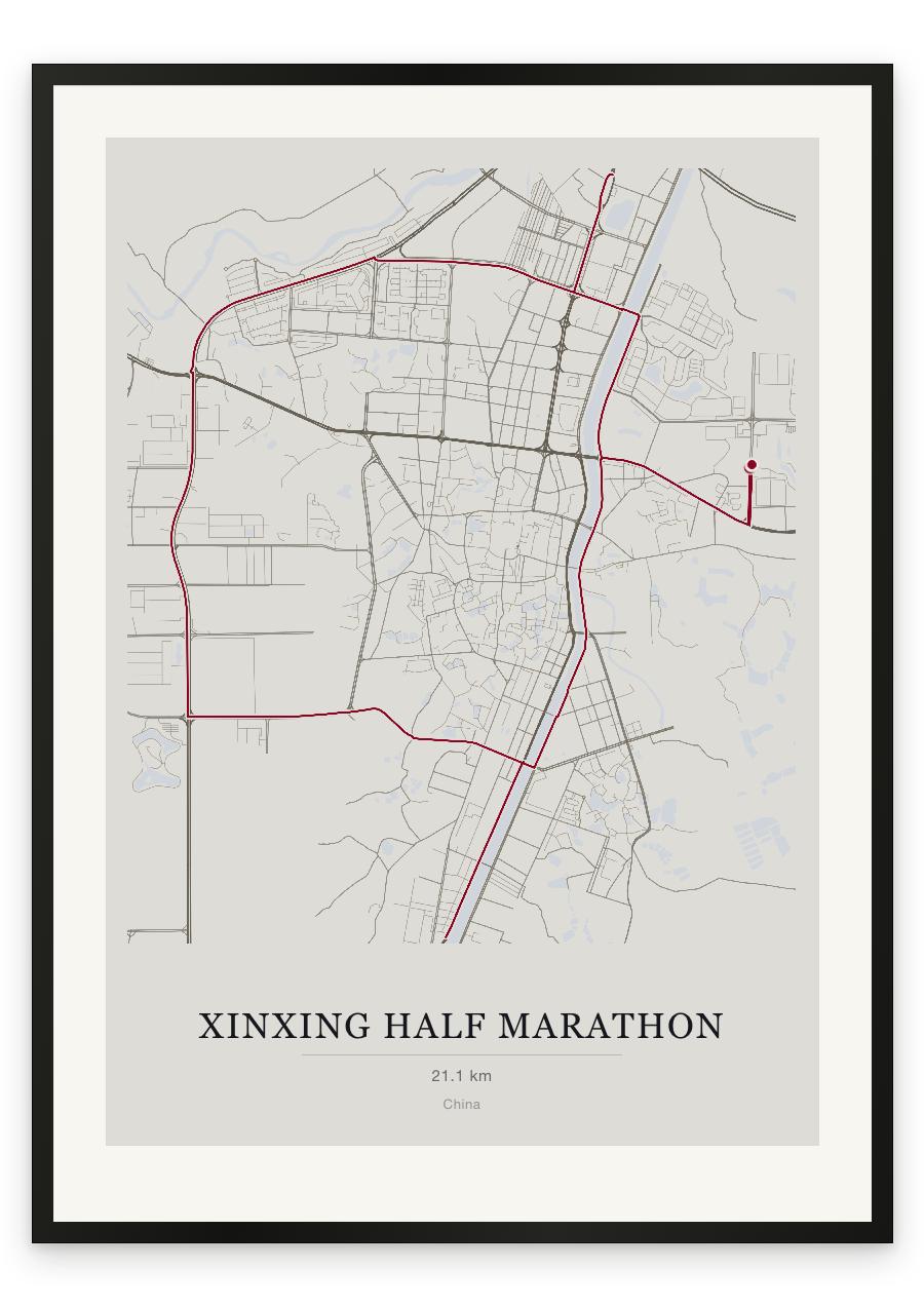
Style Classic map
Course facts
- Distance as drawn
- 21.2 km (13.2 miles)
- Route
- Starts and finishes in the same place, and 7.8 km of the 21.2 km is on roads the course uses twice.
- Start and finish
- Near Eastern New District
- Climb
- About 45 m up and 40 m down
- Highest point
- About 75 m above sea level, at 10.7 km
- Lowest point
- About 20 m above sea level
- Biggest climb
- About 25 m, from 5.9 km to 10.6 km
- Biggest descent
- About 25 m, from 11.5 km to 17.7 km
- Passes near
- Tan Tsuen (1.2 km), Au Tan (2.8 km), Fung Po (Fengpo) (4.2 km), Shü Wai (4.3 km), Po Bin (4.3 km), Chan Lung (4.3 km), Kiu Tan (5.9 km), Tuen Yuen (6.6 km), Tau Kaan (7.4 km), Fung Tung (7.5 km), Sheang Paai (7.7 km), Fung Wong (17.0 km), Tai Ti (17.8 km), Chuk Wai (17.8 km), Chong Ha (18.4 km), Tong Bui (18.4 km), Sze Long (18.5 km), Si Bui (18.7 km), Xincheng (18.8 km), Chu Bui (19.3 km)
- Heights along the course
- Start 45 m, 3 km 25 m, 6 km 20 m, 9 km 40 m, 12 km 40 m, 15 km 30 m, 18 km 25 m, 21 km 35 m, finish 40 m
- Race days
- Sunday 6 December 2026, Sunday 30 November 2025
- Course by year
- The 2026 course is the same as in 2025.
We measured these from the route drawn on the print. How we measure