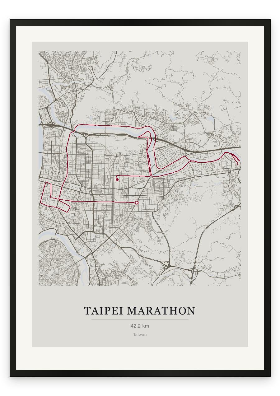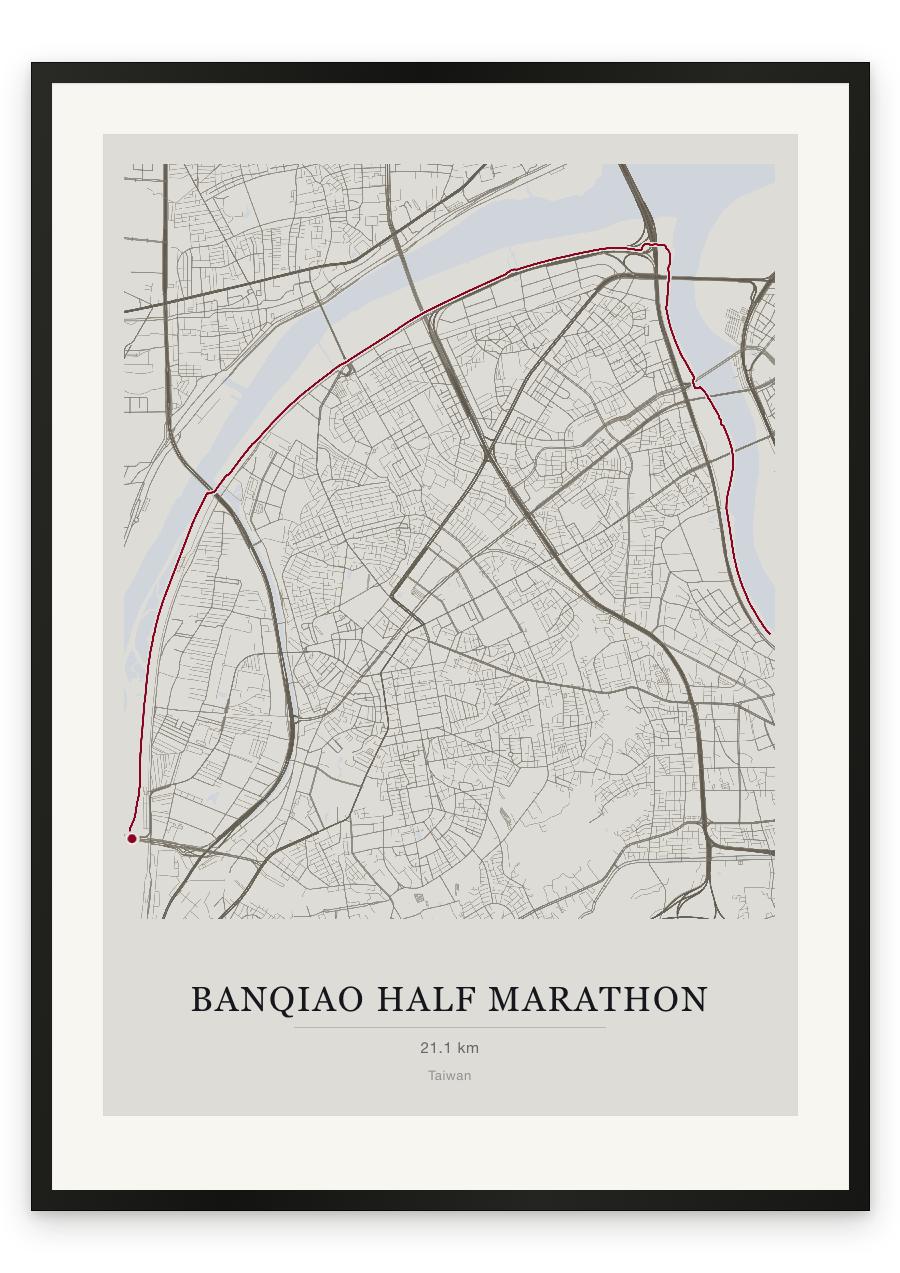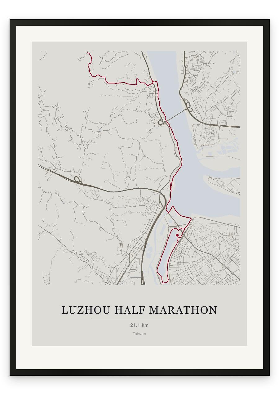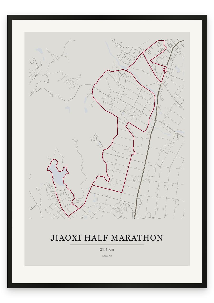
Style Classic map
Course facts
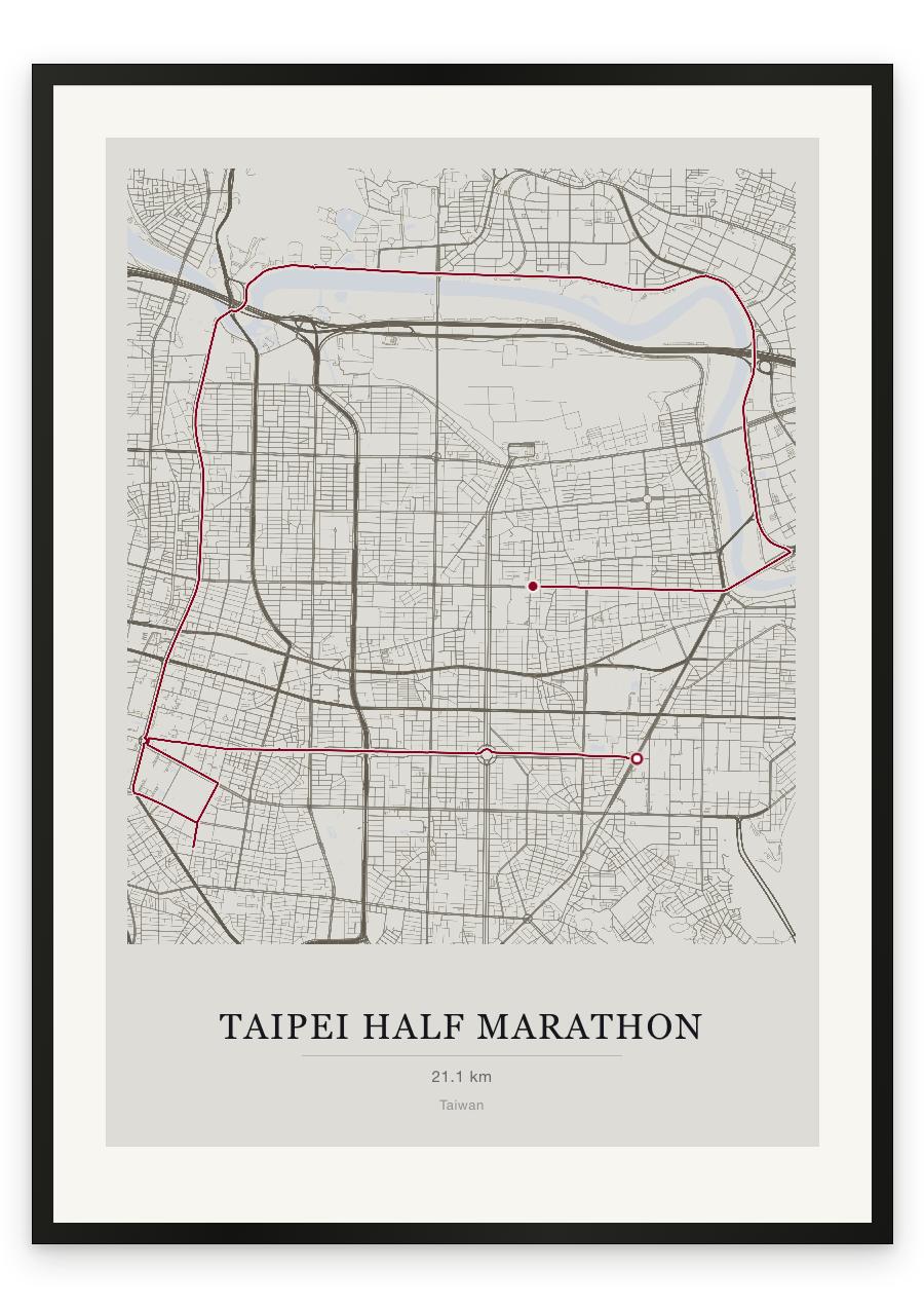
- Distance as drawn
- 21.4 km (13.3 miles)
- Route
- The finish is 1.8 km from the start.
- Start
- Near Taipei
- Finish
- Near Zhonglun
- Climb
- About 55 m up and 50 m down
- Highest point
- About 45 m above sea level, at 1.0 km
- Lowest point
- Close to sea level
- Biggest climb
- About 15 m, from 15.6 km to 16.1 km
- Biggest descent
- About 15 m, from 14.0 km to 15.6 km
- Passes near
- Xingya (0.0 km), Xinyi Shopping District (0.0 km), Chezeng (0.8 km), Eastern District of Taipei (1.6 km), Guting (5.9 km), Longtsakoo (6.8 km), Chengnei (7.6 km), Station Front (8.0 km), Huashan (8.2 km), Station Rear (8.5 km), Nanjing West Road Commercial Zone (8.9 km), Tsiancheng (9.0 km), Niupu (9.9 km), Shuanglian (10.1 km), Jiantan (12.1 km), Xiatayou (14.7 km), Neihu Technology Park (16.3 km), Gangqian (16.9 km), Fenliao (17.2 km), Tanmei (19.0 km)
- Heights along the course
- Start 20 m, 3 km 15 m, 6 km 15 m, 9 km 20 m, 12 km 10 m, 15 km 10 m, 18 km 5 m, 21 km 20 m, finish 15 m
- Race days
- Sunday 20 December 2026, Sunday 21 December 2025
- Course by year
- The 2026 course is the same as in 2025.
We measured these from the route drawn on the print. How we measure