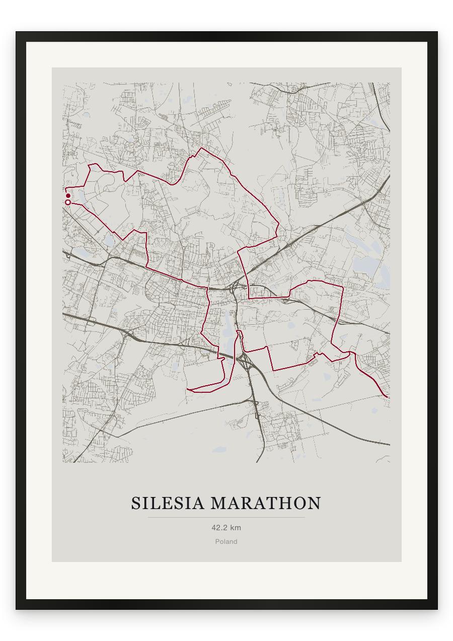
Style Classic map
Course facts
- Distance as drawn
- 43.1 km (26.8 miles)
- Route
- A loop, starting and finishing in the same place.
- Climb
- About 150 m up and 155 m down
- Highest point
- About 320 m above sea level, at 39.6 km
- Lowest point
- About 255 m above sea level
- Biggest climb
- About 55 m, from 35.0 km to 39.4 km
- Biggest descent
- About 45 m, from 15.9 km to 20.2 km
- Passes near
- Dąb (2.2 km), Koszutka (5.0 km), Śródmieście (5.6 km), Osiedle Paderewskiego-Muchowiec (8.4 km), Janów-Nikiszowiec (18.8 km), Szopienice-Burowiec (27.2 km), Zawodzie (29.2 km), Bogucice (31.0 km), Dąbrówka Mała (32.5 km), Centrum (36.5 km)
- Heights along the course
- Start 285 m, 5 km 265 m, 10 km 270 m, 15 km 280 m, 20 km 260 m, 25 km 270 m, 30 km 265 m, 35 km 265 m, 40 km 315 m, finish 280 m
- Race day
- Sunday 4 October 2026
We measured these from the route drawn on the print. How we measure