Style Classic map
Course facts
- Distance as drawn
- 21.1 km (13.1 miles)
- Route
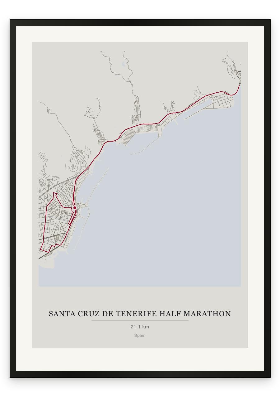
- Starts and finishes in the same place, and 14.4 km of the 21.1 km is on roads the course uses twice.
- Start and finish
- Near Santa Cruz de Tenerife
- Climb
- About 90 m up and 90 m down
- Highest point
- About 55 m above sea level, at 18.9 km
- Lowest point
- About 10 m above sea level
- Biggest climb
- About 35 m, from 15.8 km to 17.6 km
- Biggest descent
- About 45 m, from 18.8 km to 20.7 km
- Passes near
- San Andrés (7.4 km), María Jiménez (11.1 km), Valleseco (12.4 km), La Alegría (13.1 km), Cuatro Torres (15.7 km), Los Llanos (16.6 km), La Salle (17.6 km), San Sebastián (18.0 km), Duggi (18.2 km), Zona Rambla (18.4 km), Los Hoteles (18.6 km), Los Lavaderos (18.9 km), El Toscal (19.0 km), El Cabo (20.4 km)
- Heights along the course
- Start 10 m, 3 km 15 m, 6 km 15 m, 9 km 20 m, 12 km 20 m, 15 km 10 m, 18 km 45 m, 21 km 10 m, finish 10 m
- Race days
- Sunday 15 November 2026, Sunday 16 November 2025
- Course by year
- The 2026 course is the same as in 2025.
We measured these from the route drawn on the print. How we measure