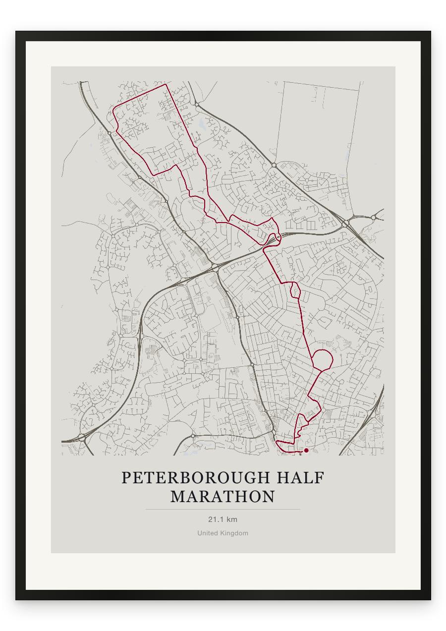
Style Classic map
Course facts
- Distance as drawn
- 21.2 km (13.2 miles)
- Route
- Starts and finishes in the same place, and 9.1 km of the 21.2 km is on roads the course uses twice.
- Start and finish
- Near Peterborough
- Climb
- About 10 m up and 10 m down
- Highest point
- About 15 m above sea level, at 15.1 km
- Lowest point
- About 5 m above sea level
- Passes near
- Millfield (3.2 km), New England (4.7 km), Walton (6.9 km), Werrington Village (8.7 km), New Werrington (10.9 km), Fulbridge (12.5 km), Paston (14.9 km), Eastfield (18.4 km), Eastgate (19.5 km)
- Heights along the course
- Start 5 m, 3 km 15 m, 6 km 10 m, 9 km 10 m, 12 km 5 m, 15 km 15 m, 18 km 15 m, 21 km 5 m, finish 5 m
We measured these from the route drawn on the print. How we measure