Style Classic map
The course
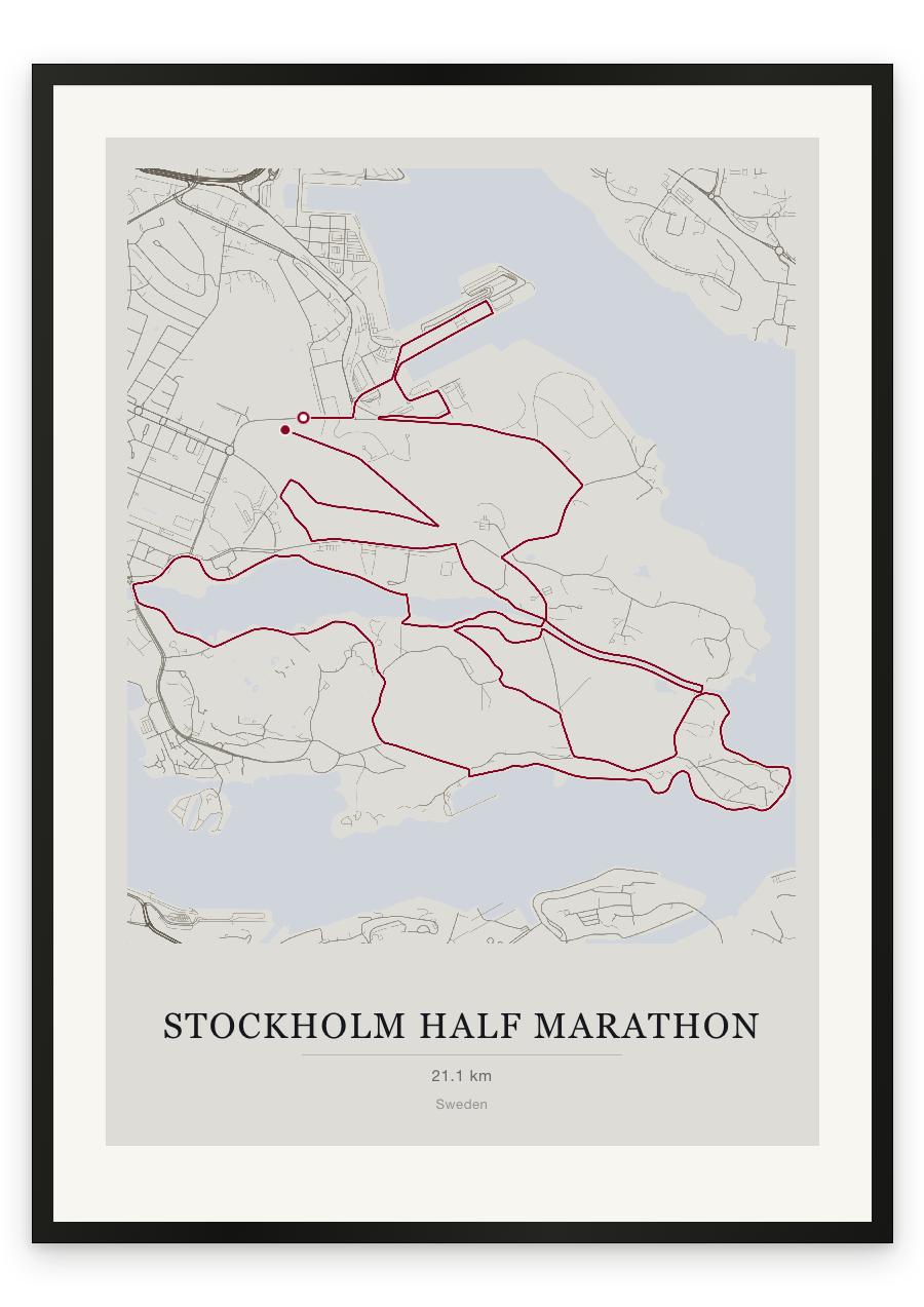
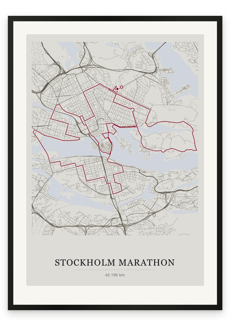
Stockholm starts on Lidingövägen, beside Östermalm's sports grounds, and finishes on the track inside Stockholms Stadion, the 1912 Olympic stadium. It is a single loop, though the water forces it to double back: the early kilometres through Gamla Stan and Strandvägen are run again at the end. From Östermalm the course drops down Odengatan to Sveavägen, then through Kungsgatan and Central Station to the waterfront at Gamla Stan. Djurgården follows , gently undulating, no hills as far as Slussen. Then Södermalm, which is where the course turns hard. Katarinavägen is a full kilometre uphill, a serious climb, steepest at its foot; SoFo comes after it, then the climb up Lundagatan. Västerbron is the crossing everyone remembers, a long arc above the water with the city laid out on either side. Kungsholmen answers with two straight, easy kilometres past City Hall. The last kilometres retrace the first: Gamla Stan again, Strandvägen, and the pull up Sturegatan to the stadium.
- Start
- Lidingövägen, beside Östermalm's sports grounds (Östermalms IP)
- Finish
- On the track inside Stockholms Stadion
- Shape
- loop
- Terrain
- Rolling rather than flat, in distinct steps rather than continuously. Two named climbs — Katarinavägen, a full kilometre uphill from Slussen, and Lundagatan on Södermalm — with Västerbron a longer, gentler rise and a final pull up Sturegatan to the stadium. The Djurgården section is the flattest running of the day. Road surface throughout. The organiser publishes no total elevation figure for this course.
- Gamla Stan (early, and again in the closing kilometres)
- Djurgården
- Katarinavägen and Lundagatan, Södermalm
- Västerbron
- City Hall, Kungsholmen